Ãdith Bégin
Natural disturbances
My tools
Stereoscope
ArcGis
Geographical maps
Weather stations
Geographical maps
Geographical maps, especially those of regional landscapes, have been a great help to me in choosing the location of my sample landscapes. They have also been very useful to me when I was looking for aerial photos taken by different aircraft flying over the province.
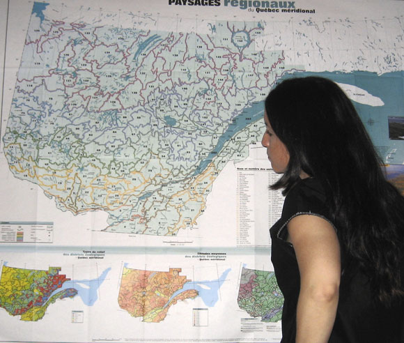
Geographical maps of Quebec (© Ãdith Bégin)
